Digital Mapping, Aerial Video & Photography and Inspection Services for farmers, foresters, landowners and land managers

Welcome to

Silvaeroscape

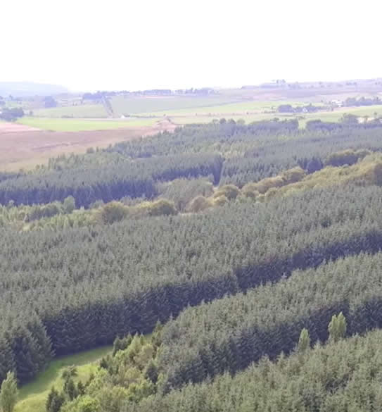
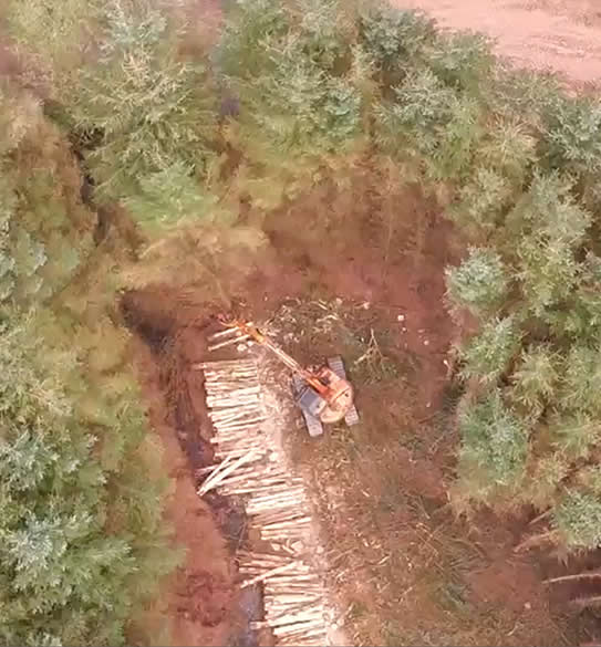
Silvaeroscape was established by Mark Page in 2015. Mark had until 2001 been employed in Forest Management in the UK. He became self-employed in 2001 managing a portfolio of woodlands in the Scottish Borders. He also developed software and undertook work for various forest management companies. In time he came to specialise in forestry surveys, providing data ahead of harvesting and also pre purchase valuations of whole properties.

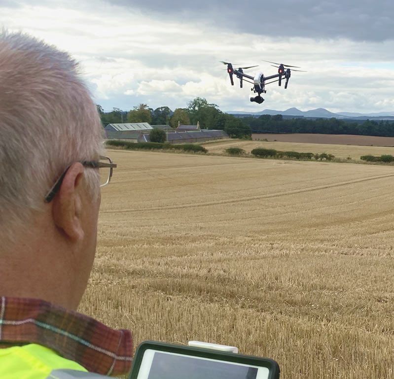
With the advent of drones he saw their potential in the survey side of his business. He first acquired a DJI Phantom and seeing its’ potential value became a professional pilot in 2016. Since then extensive use of a DJI Inspire 1 Pro and a DJI Mavic 2 Pro have been made.

As a skilled and professional operation Silvaeroscape is insured by Flock Insurance and licensed by the CAA (under the name Mark Page Trading as Mark B Page NDF MICFor).
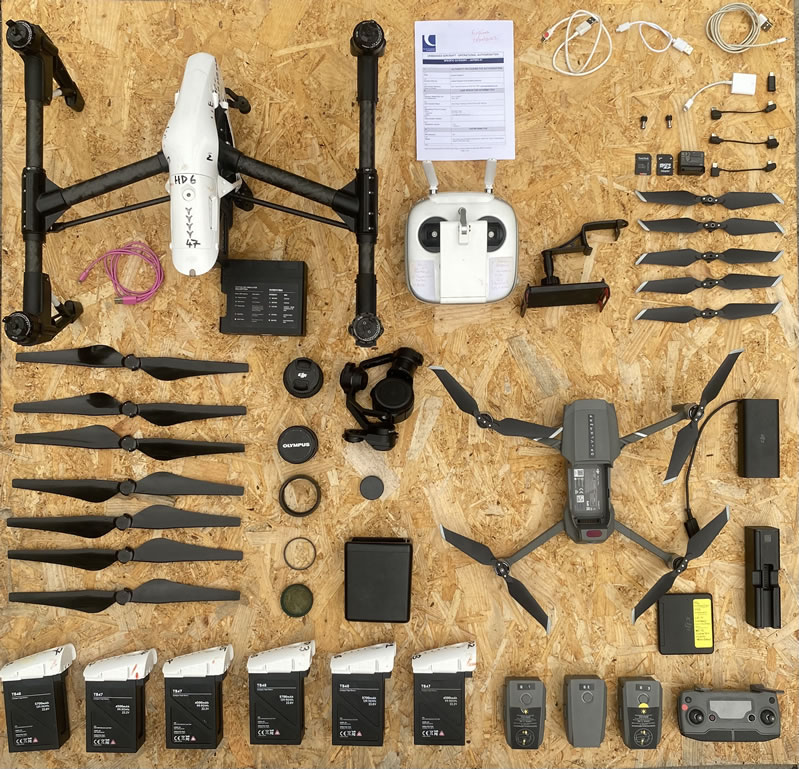
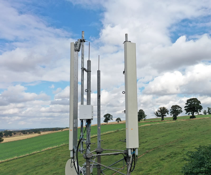
Drone Photography Equipment

Digital Mapping

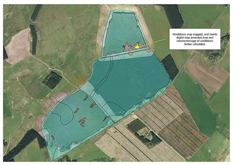
Mark is highly skilled at the preparation of digital mapping, using both Mapmaker and QGIS. With seamless integration of Google Earth and Bing Map images into QGIS mapping can be undertaken. However Bing and Google Map images are often several years old so there is a need to prepare accurate images of the current state of a woodland, showing areas of poorer growth and windblown trees, for example.

Silvaeroscape offers this facility, and the process is explained in the series of images.

This allows the manager to calculate quantities and place a value on the area of windblown timber. This in turn allows the timber buyer to have confidence that he is placing a bid for the timber that accurately reflects the quantities of timber expected, and the extra costs involved in the harvesting of the windblown timber.

This facility is offered to all farmers, foresters, landowners and managers.

To enquire about my digital mapping services
call 01573 450298

Service

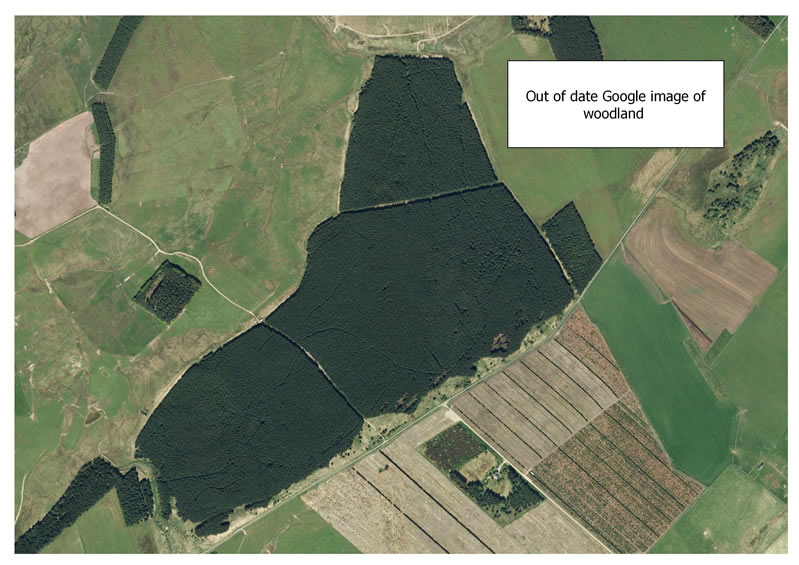
1. A Google Earth image of a woodland, although useful can be clearly seen to be out of date.

Service

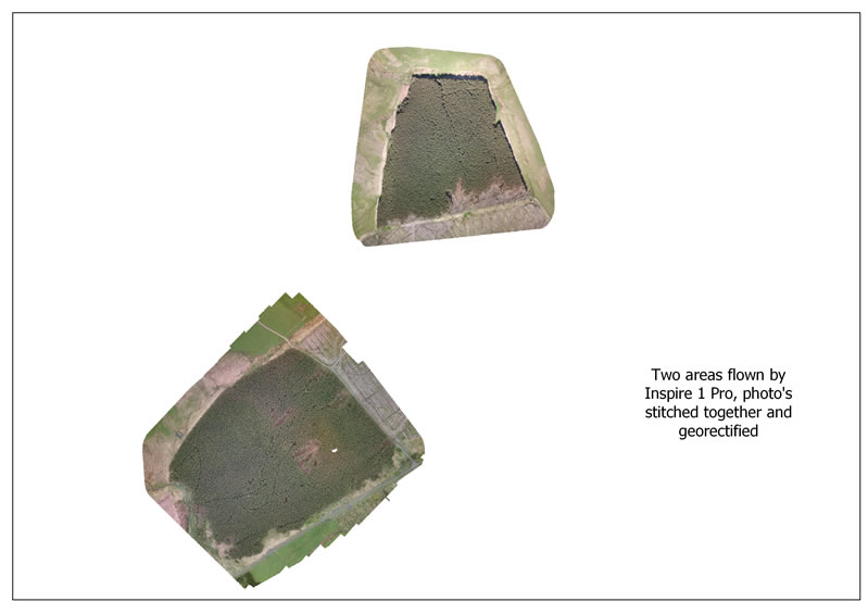
2. Two parcels are identified as needing updated mapping and they are flown and the resultant hundred’s of images are stitched together and geo-rectified.

Service

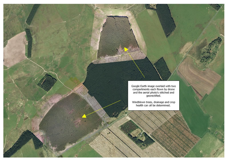
3. The new images are overlaid on the Google Earth image and one can clearly see how accurate the geo-rectification is.

Service

4. The clients digital map can be overlaid and amended, or a new map made using the newly created images.

Drone Filming and Editing Service
Aerial Video

Filming & Editing

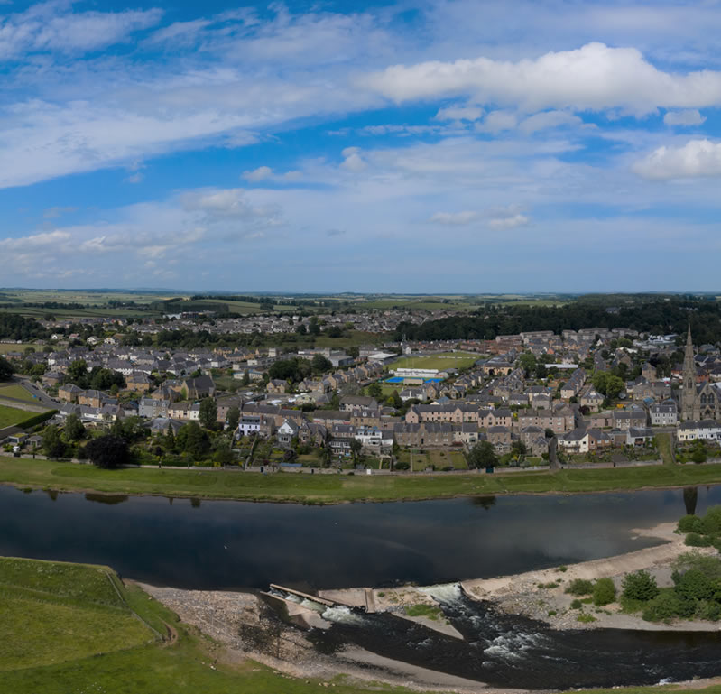
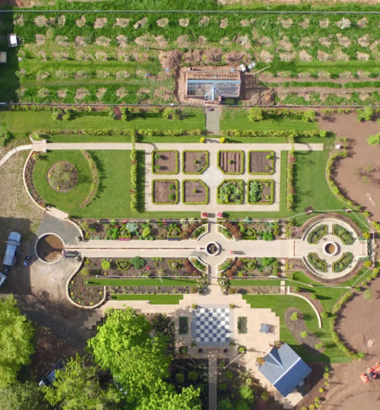
Mark has been broadening his portfolio of work with the drones, and undertakes photography and filming of various projects.

For example, these have involved a film with music and text of a large land ownership which was presented at a meeting of the board of directors as an alternative when the normal annual meeting onsite was unable to be held.

A recent project has been the creation of a film for a new simulated game enterprise in Midlothian. The testimonial from the clients and a link to their website are below.

“We watched your final film and we are delighted with your efforts. Thank you for your attention to detail ... for your wonderful drone work and for taking so much trouble to get it right and thank you for the still images as well.
We very much enjoyed your company and enthusiasm.

- Matt and Alex Walgate Coreshope Farm”

Drone Aerial

Property Inspections

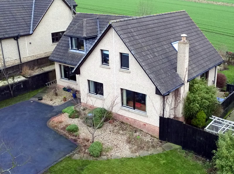
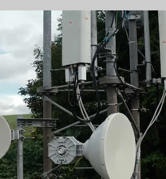
Mark provides a very cost effective, quick solution for carrying aerial building surveys compared to more expensive traditional methods of scaffolding, platforms, steeplejacks or hiring a cherry picker. The facility to provide is ideal for inspection hard to reach parts of a building including of roof, chimneys, towers, silo’s etc. Drone images and video can help inspect, analyse and review, before committing to the expense of erecting scaffolding, hiring cranes or deploying suspended access cradles.

Drone technology is now a first point of inspection and an efficient method to access difficult-to-reach areas. Using a drone to inspect a property means that no one leaves the ground so you do not have to worry about the HSE - “Working at Height” health and safety regulations.

To enquire about aerial property inspections services
call 01573 450298

Drone property inspections Scotland
Service
Photography for

Real Estate

Mark also offers to undertake photography of real estate for sale.

To enquire about real estate aerial photography services
call 01573 450298

Silvaeroscape Portfolio

Digital Mapping, Video and Real Estate Photography Work

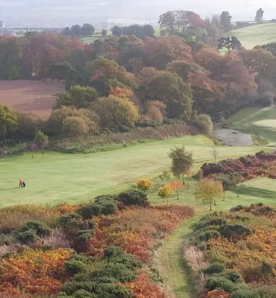
“We are a small golf club in the Scottish Borders, and wanted to improve our presence on the internet. The film Mark made of the Golf Course has proved to be a real asset to our website, we think it is great; it shows our course from an entirely new perspective. We'd have no hesitation in recommending his services to others. - Jedburgh Golf Club
"

Mark Page

Awards

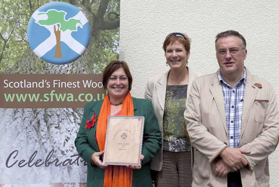
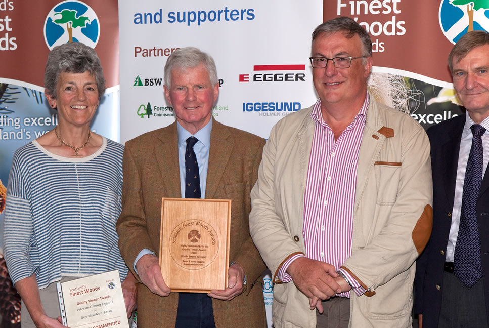
In forest management two of Mark's clients were awarded runners up in the Scotland’s finest Woods awards in 2016 and 2013. I bring the same skills that enabled these achievements to Silvareoscape.

Watch the Silvaeroscape introductory video

Watch Our Video

 Play Now
Get In Touch

Contact Silvaeroscape

Use any of the methods listed below to discuss your digital mapping, aerial videography and photography requirements.

Our Address

Smiddybank Cottage, Sunlawshill, Heiton, KELSO, TD5 8LB

Our Phone

Office Telephone : 01573 450298 Mobile : 07775 817776

Our Email

Email : mark@silvaeroscape.co.uk

Send a Message
Our other website

Email : www.pageforestry.co.uk

Visit Website